


Knowledge Graph
The Knowledge Graph for Irish History is a dynamic research tool enabling discovery of information about Ireland’s deep history.
Advanced Search
Places
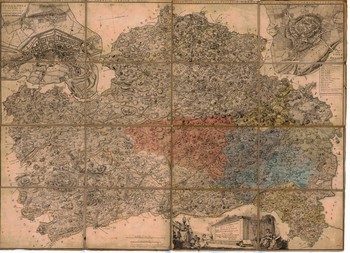
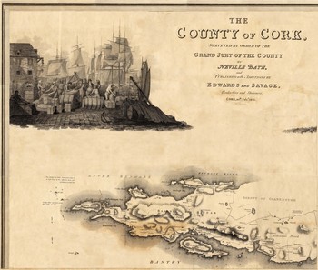
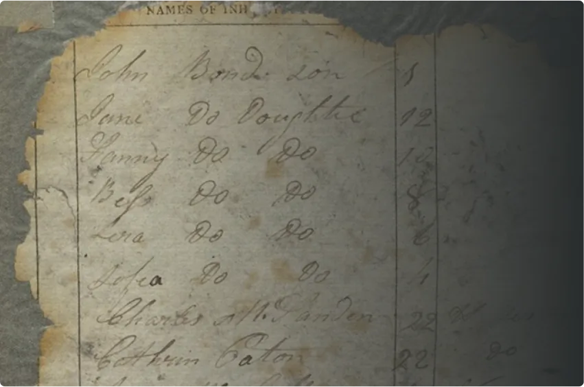
The Knowledge Graph stores information about historical locations and placenames in Ireland’s past, allowing new ways to discover connections between people and documents across centuries of Irish history. As more historical places are added to the Graph over time, these connections and discoveries will continue to grow.
Map Explorer
Place by Era
.jpg)
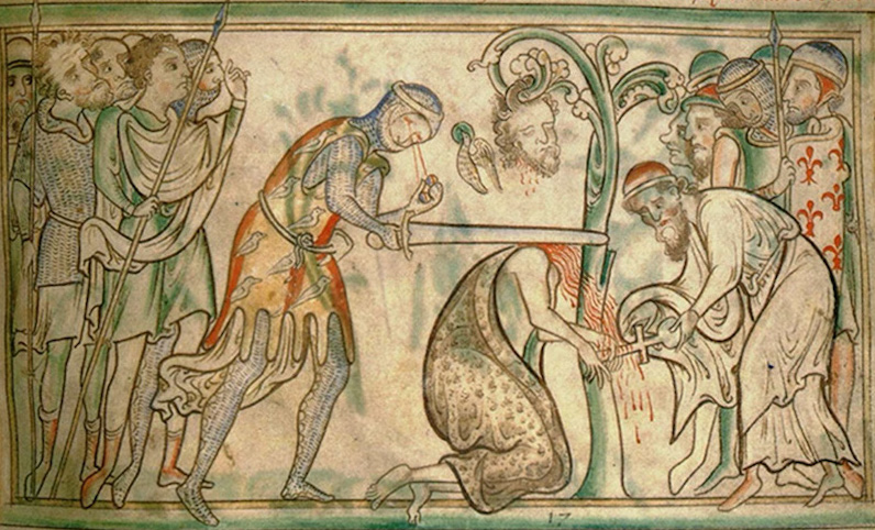
Medieval
(400-1499)
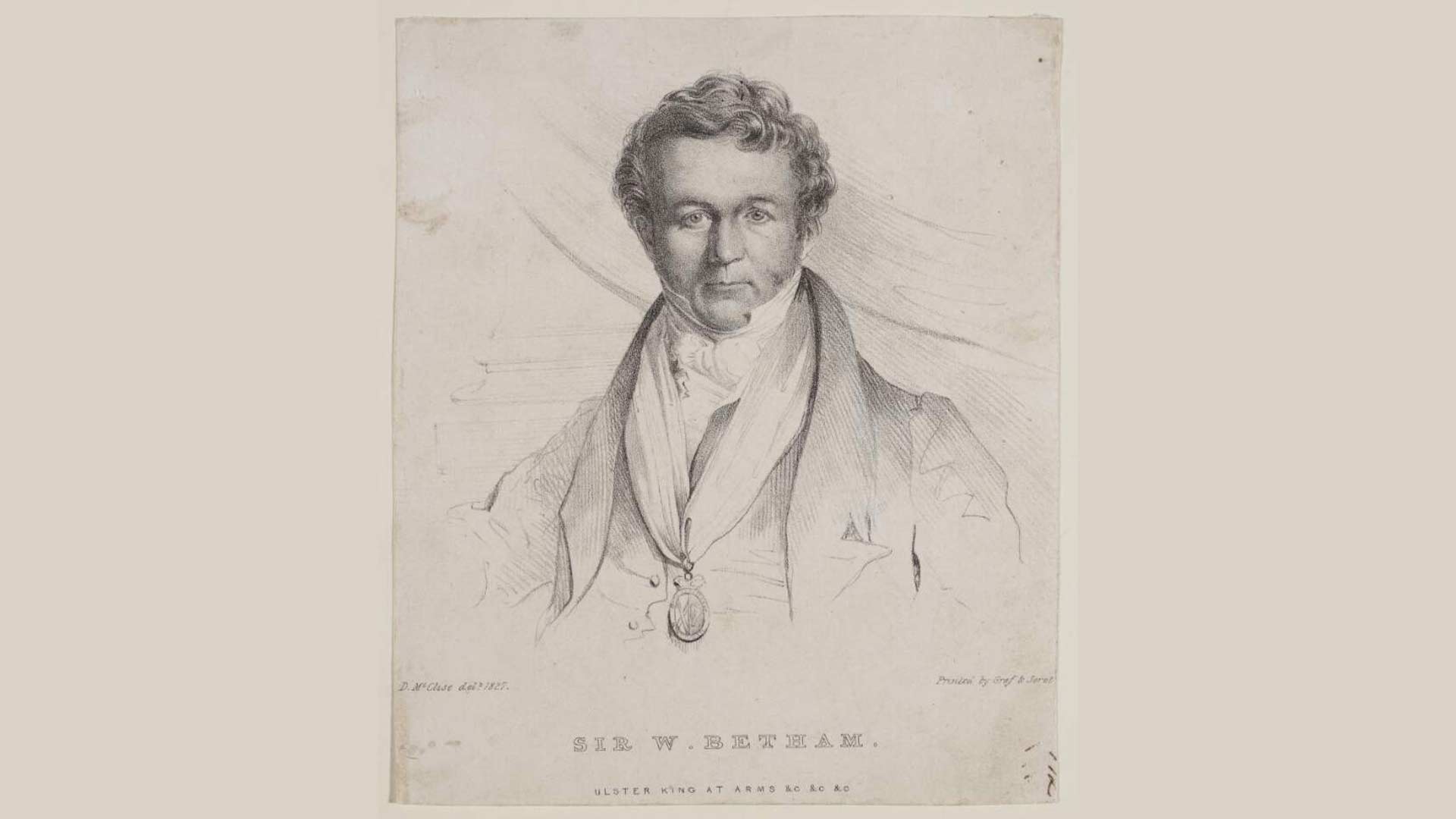
Early Modern
(1500-1749)
.jpg/full/350,/0/default.jpg)